About geoCRE
geoCRE is a web-based collaborative research environment for geographic research purposes developed at the Department of Physical Geography, University of Freiburg.

Online tools for data collection and sharing
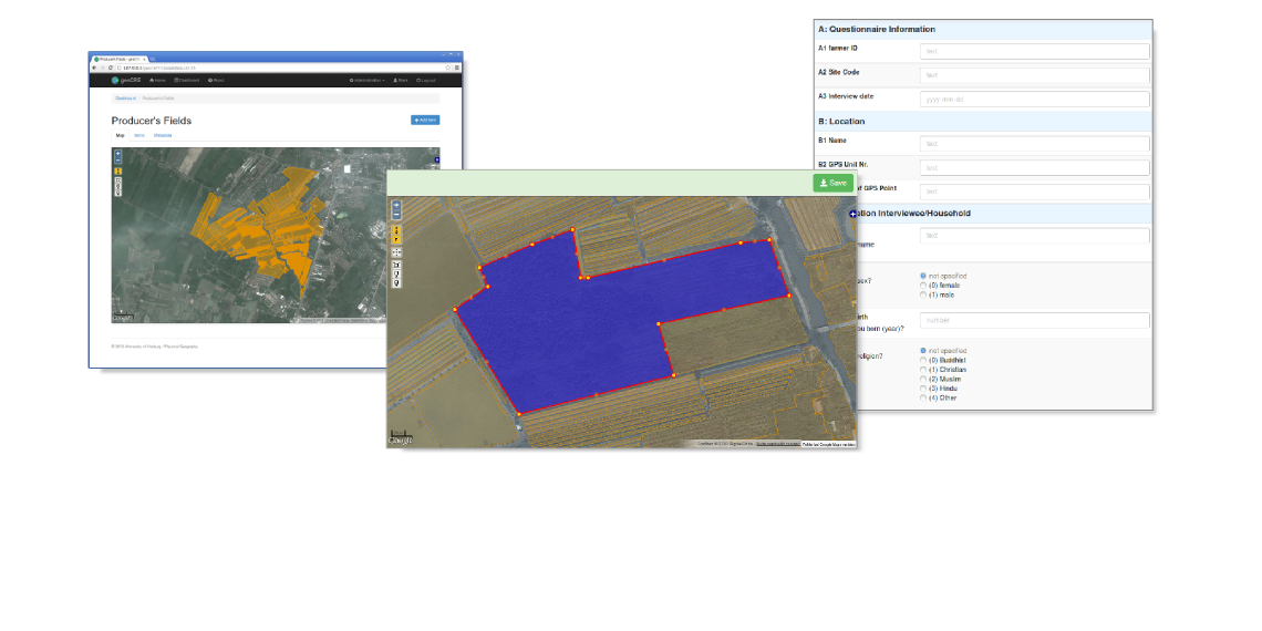
geoCRE provides easy to use online tools for editing and sharing common and spatial data.

Centralized and standardized data storage
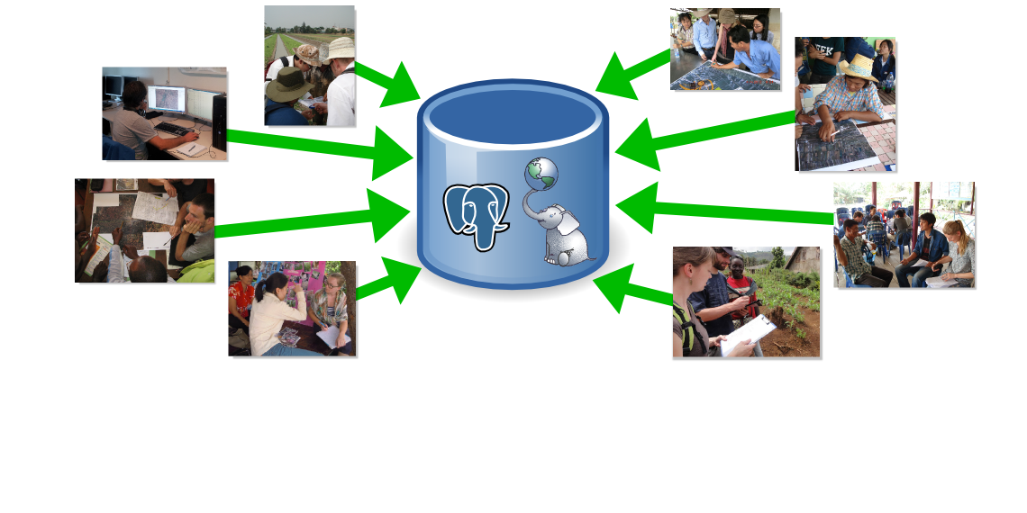
All data is stored in a standardized way in a spatially-enabled PostgreSQL/PostGIS database. Data validity is assured by the definition of data models containing data types and metadata.

Conversion and export tools
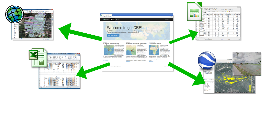
The data conversion and export tools allow simple data access and further processing in common data analysis and visualization software like ArcGIS, Excel or Google Earth.